Water Level & River flow
The Glen Lake Association is dedicated to balancing and maintaining the appropriate water level and river flow for Glen Lake and the Crystal River, respectively. These actions are managed by a Water Level Committee in accordance with a court-ordered Water Sharing Management Plan.
Monitoring Water Levels
Since 1945, the Glen Lake Association has maintained and operated the Crystal River Dam. We continually monitor and measure the water level of Glen Lake and the flow of the Crystal River using sensor technology. These measurements are then used as the basis for adjusting the dam, raising or lowering two gates as necessary to maintain the appropriate lake level and river flow. All adjustments are made in accordance with a Water Sharing Management Plan (WSMP) which was established in 2005 by court order.
Water Sharing Management Plan
This court-ordered plan is what dictates the lake water level and the rate of flow of the river.
The WSMP outlines a water sharing agreement between Glen Lake and the Crystal River. This plan provides for the lowering of the lake level from fall through spring to minimize shore erosion. In addition, it provides for the raising of the lake level to allow for its recreational use during the summer months.
From fall to spring, precipitation levels typically support adequate lake level and river flow. However, during the summer months, when rainfall is low, the lake level and river flow may be insufficient. This is when the water sharing agreement comes into effect. If the lake level falls below the established target, the plan dictates the required reduction in river flow. This is executed through a change in dam gate settings. If river flows drop to unhealthy levels, the plan further provides for a change in gate settings to reduce the lake level.
Water Level Committee
Execution of the WSMP is overseen by the Glen Lake Association Water Level Committee. This committee is composed of both Glen Lake and Crystal River riparians (people living on the water). This committee partners with the Glen Lake/Crystal River Technical Committee, which includes representatives from Glen Lake and the Crystal River, the National Park Service, the Leelanau County Drain Commissioner, Michigan Department of Environment, and Great Lakes and Energy. Together, these local, state, and national organizations collaborate to balance the recreational interests of the Glen Lake/Crystal River community, the requirements of the WSMP, and the need to protect the aquatic ecosystem and the water biota (i.e. the plants and animals living in or near the water.)
CONTACT US if you’re having problems with water levels or ice out issues.
Water Level Basics
Ever wonder what determines the water level of Glen Lake and, consequently, the water flow in the Crystal River?
Regardless of the dam gate settings, rainfall and evaporation are the two key factors determining lake level and river flow. Unfortunately, these factors are not within our control.
Water finds its way into the lakes and rivers from two different sources:
- Directly from the sky when it rains or snows
- Indirectly from the surrounding area (i.e the watershed)
The water that enters the lakes and rivers from the surrounding streams and underground springs (predominantly located along the East and South shores of Big Glen) contributes significantly to lake levels. But water also drains into the lake from the watershed. Rain and snow melt filter through the developed properties and undeveloped hillsides and forests within the watershed, down through the sand and gravel under the ground, and eventually make their way into the lake. Fortunately, this filtration process has a significant time lag, so even during the dry summer months, we continue to have water entering the lake through groundwater and surface water.
Water exits the lake in three ways:
- River flow
- Evaporation
- Seepage through the porous ground
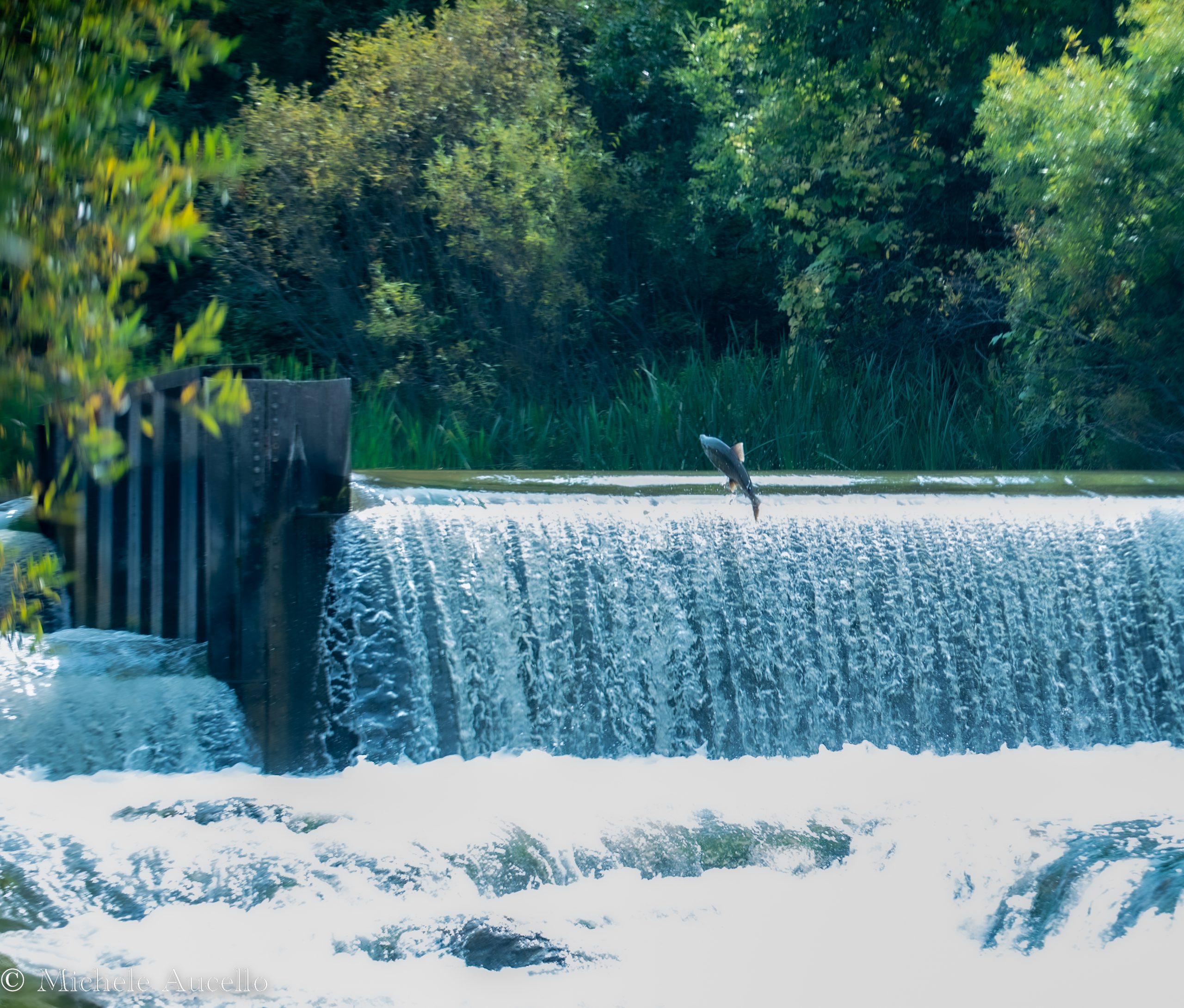
River flow is measured at the Glen Lake Association dam, near the start of the Crystal River along Fisher Road. The Water Level Committee monitors the flow both electronically and manually, recording data on a continuous basis. Water flow over the dam in mid-summer varies with the weather, but has a targeted minimum flow of 31 cubic feet per second. Evaporation is a significant cause of water loss during the summer months. In fact, a mere 1/4 inch of evaporation from the lake surface equals over 40,300 cubic feet of water! Water lost through the ground is difficult to measure but is also significant.
Next time you are in Glen Arbor, think about the water flowing underground from Glen Lake to Michigan, not far beneath your feet. Simply amazing!
Biological Considerations
It is our duty to protect the aquatic ecosystem and biota of both the lake and river.
The Crystal River is a biologically diverse river. The types and life cycles of stream biota present are directly tied to seasonal water levels. Concern for fish and other aquatic life arises when outflow of the dam is reduced during the summer months, leading to low river flow. Shallow water levels cause water temperature to rise dramatically, reaching dangerous levels for trout. In addition, some sections of the river, previously underwater, could become completely dewatered leaving steelhead, trout, and salmon spawning beds exposed.
Even though the Crystal River is a regulated stream, the type of fish and invertebrate species found in the river indicate that the water quality is adequate and that seasonal water level cues are sufficient to trigger life cycle events. While the distribution and reproduction of some species may be affected by low summer water levels, the river continues to contain a fish community that is surviving successfully and reproducing overall.


